THE #1 FISHING APP
START CATCHING LIKE THE PROS
Spot On Fishing Application Reviews
Hear What The World Has To Say.
Finding new spots every trip.
Don R.
Big Pine Key, FL.
My go to fishing app.
Capt. Brent
Charter Captain, FL.
Best map in the keys!
Jack D.
Marathon, FL.
Amazing detail
Aaron G.
Shreveport, LA.
Routes in Choko are awesome!
Jerry A.
Naples, FL.
Navigation made easy.
Derek S.
Chokoloskee, FL.
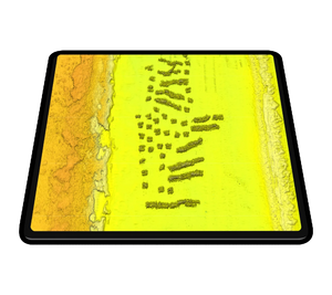
3D Relief Shading Structure Maps
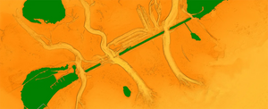
SpotOn Fishing’s high-resolution 3D relief shading structure imagery features centimeter-accurate data that helps anglers find more fish.
Designed for precision, SpotOn Fishing puts you on the best fishing spots.
Explore more.
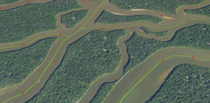
Unlock New Horizons with Exclusive Community Route Fishing Tracks That Lead You To New Fishing Spots with Real Time Time GPS Positioning.
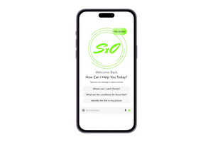
Hello, SpotBot.
Whether you're looking to identify the fish in your picture, how to find new spots for targeted species, local regulations, expert techniques, or weather conditions - SpotBot AI is a fully conversational fishing companion at your fingertips, and is available for iOS and Android devices.
Fishing Route Tracks
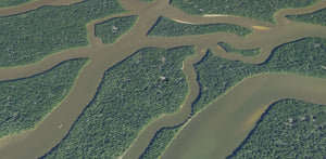
The SpotOn Fishing Application is the only mobile app that offers fishing tracks designed by the SpotOn Fishing Team, Professional Anglers, and The SpotOn Fishing User Community.
Go Beyond.
Community Routes, whether you're looking for a shortcut, or to take the highway- SpotOn Fishing Tracks will get you where you want to go.
Easy to use.
Simplify Your Boating Experience with User-Friendly Navigation with real time insights and Live Weather Overlays.
Angler's choice.
Enhance Your Fishing Experience with Precision-Made Angler-Designed Maps that are exclusive to Spot On Fishing.
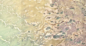
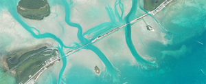
SpotOn Fishing Offers High Resolution Structure and Aerial Imagery.
Find Your Way.
Enhanced high-resolution mapping imagery, giving you the best vision on the water.
Quick Change.
SpotOn Fishing is designed to switch maps and overlays with ease.
Tested & Trusted.
Our Team is constantly developing updates with the feedback from the SpotOn Fishing Community.
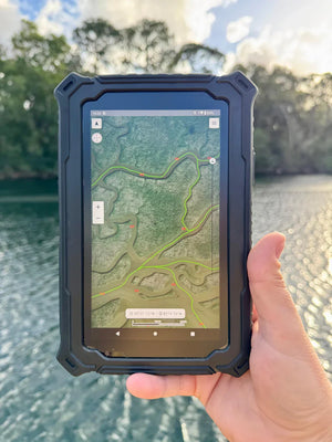
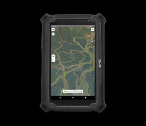
HYDROS 7 MARINE TABLET
The Hydros 7 by SpotOn Technologies redefines rugged performance. Designed for marine and outdoor use, it features a drop-proof build, sunlight-readable anti-glare screen, and an enhanced GPS receiver, with an optional marine grade suction mount; making it the ultimate portable tool to stay ahead of the elements.
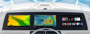
Andros 8 – Google Certified Marine Android Computer
The Andros 8 is a waterproof, high-performance Android black box computer designed to bring smartphone-level capability and modern app functionality to any vessel. Built for the harshest marine conditions, it delivers lightning-fast performance, seamless connectivity, and full access to your favorite apps—whether you're navigating offshore, cruising inland waterways, or anchored at the sandbar.
SpotOn Fishing Mobile Application & Rugged Boating Electronics
Connect With Us
info@spoton.fishing
The Spot On Fishing Mobile Application is open 24/7 - 365
